ST 3.1 – Marine Spatial Planning Utilizing a Big Data-driven Policy SimulatorImplementation of Evidence-Based Marine Spatial Management Using AI(Artificial Intelligence)

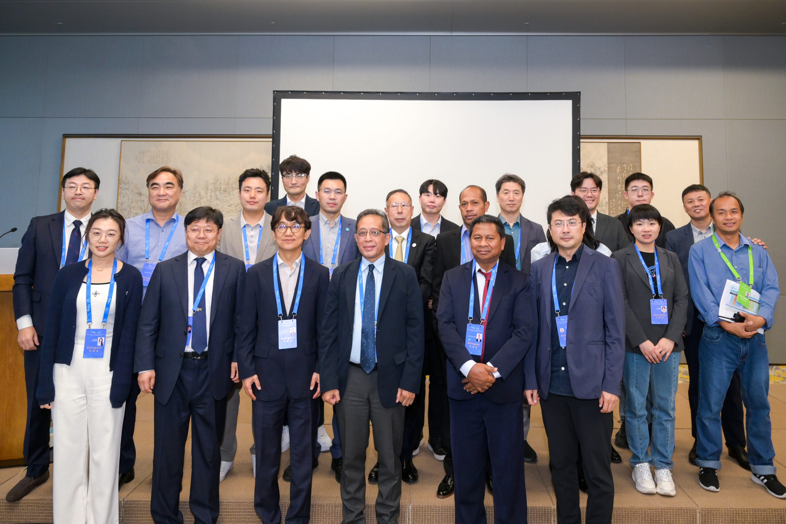
Over 50 experts in marine spatial management, government officials, and stakeholders from East Asia, including China, Korea, and Indonesia, gathered to enrich the special session on ‘Marine Spatial Planning Utilizing a Big Data-driven Policy Simulator. (PRF / WOW)
Over 50 experts in marine spatial management, government officials and stakeholders from East Asia, including China, Korea and Indonesia, gathered for the special session on ‘Marine Spatial Planning Utilizing a Big Data-driven Policy Simulator’ held on 6 November at the EAS Congress.
In particular, government officials and experts from East Asia expressed significant interest in the development of policy simulator technology for marine spatial management in China and Korea.
The special session on “Marine Spatial Planning Utilizing a Big Data-driven Policy Simulator” brought together experts from countries such as Korea, China and Indonesia to promote the use of big data-based policy simulators for marine spatial management.
Dr. Kim Choongki of the Korea Environment Institute said that Marine Spatial Planning (MSP) is a tool for balancing conservation and economic interests through the integrated consideration of ecosystems and human activities.
Optimal siting of offshore windfarms under the MSP requires data-driven analysis. A marine spatial environmental information platform can play a role.
Dr. Son Woo-Ju of the Korea Maritime and Ocean University said the research presents a good way to develop a marine spatial policy simulator to forecast maritime traffic. The primary goal of the study is to support the rational establishment of marine policies by analyzing maritime traffic density.
Professor Nam Jong-Oh of the Pukyong National University followed by saying that the study employs spatial panel analysis to explore how environmental factors and fishing activities influence the distribution and resource fluctuations of hairtail in Korean southern waters.
Results confirmed that the distribution and dynamics of hairtail resources are influenced not only by local conditions but also by neighboring areas. This underscores the importance of spatial connectivity in effective resource management.
“This study introduces the marine spatial policy simulation technology based on a digital platform,” says Dr. Kang Seungwon of the Korea Institute of Ocean Science and Technology. “This is currently under development by KIOST, which aims to forecast marine activities based on scenarios.”
Researcher Son Donghwi of the Korea Institute of Ocean Science and Technology said the presentation will focus on the ‘Development of a Marine Policy-supportive Simulator’ from the perspective of coastal impact assessments designed to provide a scientific approach for evaluating and deciding on the Marine Spatial Management Plan and Marine Use Zoning Map.
It outlines the current status of numerical model systems, future implementation of digital twins and thedevelopment of assessment indices.
“The study uses lab experiments to show that individual quotas (IQ) management stabilizes prices and reduces income disparities between heterogenous harvesters better than common pool (CP) management, especially under uncertain recruitment stocks,” added Professor Zhi Li of Xiamen University.
Multiple studies emphasize the importance of using advanced tools like data-driven analysis, spatial panel analysis and policy simulators for effective marine spatial planning (MSP) and resource management.
These tools aim to balance conservation with economic interests and predict the impacts of various activities on marine environments.
Research highlights include developing policy simulators for forecasting maritime traffic and assessing coastal impacts, examining environmental influences on fish populations and showcasing the benefits of individual quotas (IQ) management in stabilizing markets and reducing income disparities. The experts attending this special session are expected to contribute to realizing a sustainable and resilient ocean through scientific data and technology, aligning with the vision of the 8th East Asian Seas Congress: “One Sustainable and Resilient Ocean.“

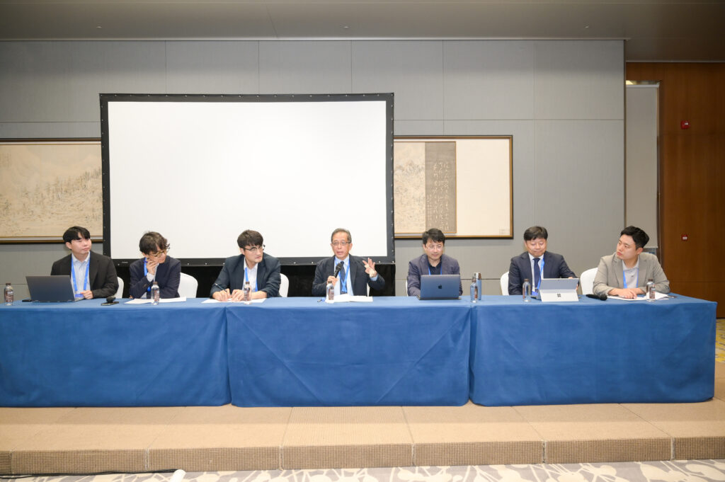
Professor Luky Adrianto shares his expertise in a panel discussion during the special session on “Marine Spatial Planning Utilizing a Big Data-driven Policy Simulator” held on 6 November at the Xiamen International Convention Center. (PRF / WOW)
